About
Howard Bend
Levee District
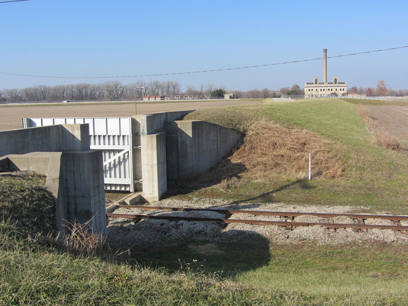
The Howard Bend Levee District is located in the Cities of Maryland Heights and Chesterfield, St. Louis County, Missouri approximately 17 miles west of the City of St. Louis. The Howard Bend Levee, designed for the 500-year Missouri River flood event, extends from about river mile 38 to river mile 30.4 above the Mississippi River.
The project consists of a 7.6 mile long levee that protects the Maryland Heights area from Missouri River floods. The system also primarily implements flood control management for the Creve Coeur and Fee Fee Creeks and Creve Coeur Lake.
Keep Up-to-date
news
Pump Station Construction Update
The construction of the Pump Station located in the Airport sub-district is well underway with channel excavation almost complete, sheet piling having been put into
January 2022
The District is pleased to inform our landowners that it closed on a $4.35M bond issuance on December 15, 2021. The bonds were underwritten by